Dorokyo Valley on the border of 3 prefectures
2023-5-18
I visited a valley called Dorokyo. It is located on the borders of three prefectures, Mie, Wakayama, and Nara, and in the Yoshino-Kumano National Park in south of Kii Peninsula. I was thinking it is not easy to access there, but it exactly deserved to get there. Unexpectedly, in addition, the National Route 169, the driving route from Sakurai City to the place, was outstanding in its scenery. (About 2 hours from Sakurai City)
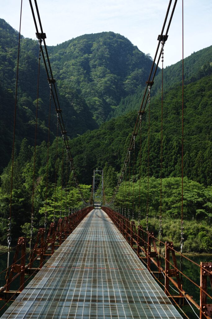
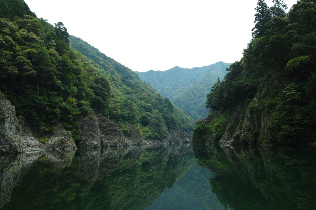
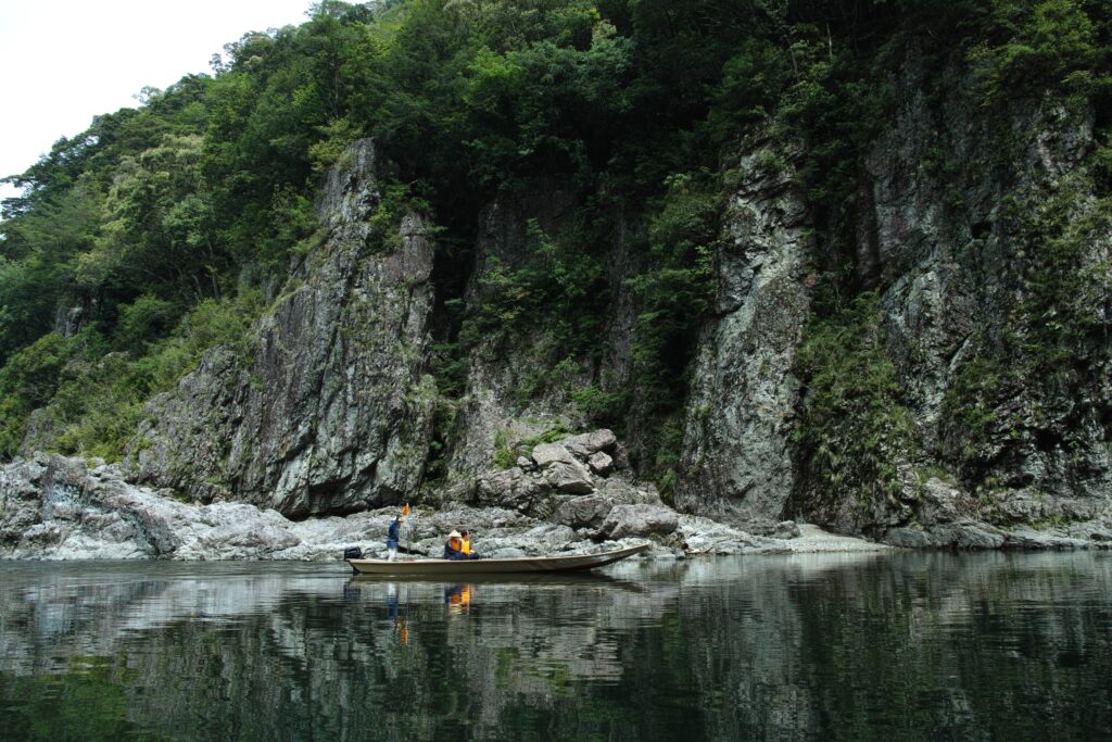
I took photos of the Kitayama river from a suspension bridge just in front of the destination. Dorokyo is a part of the Kitayama river.
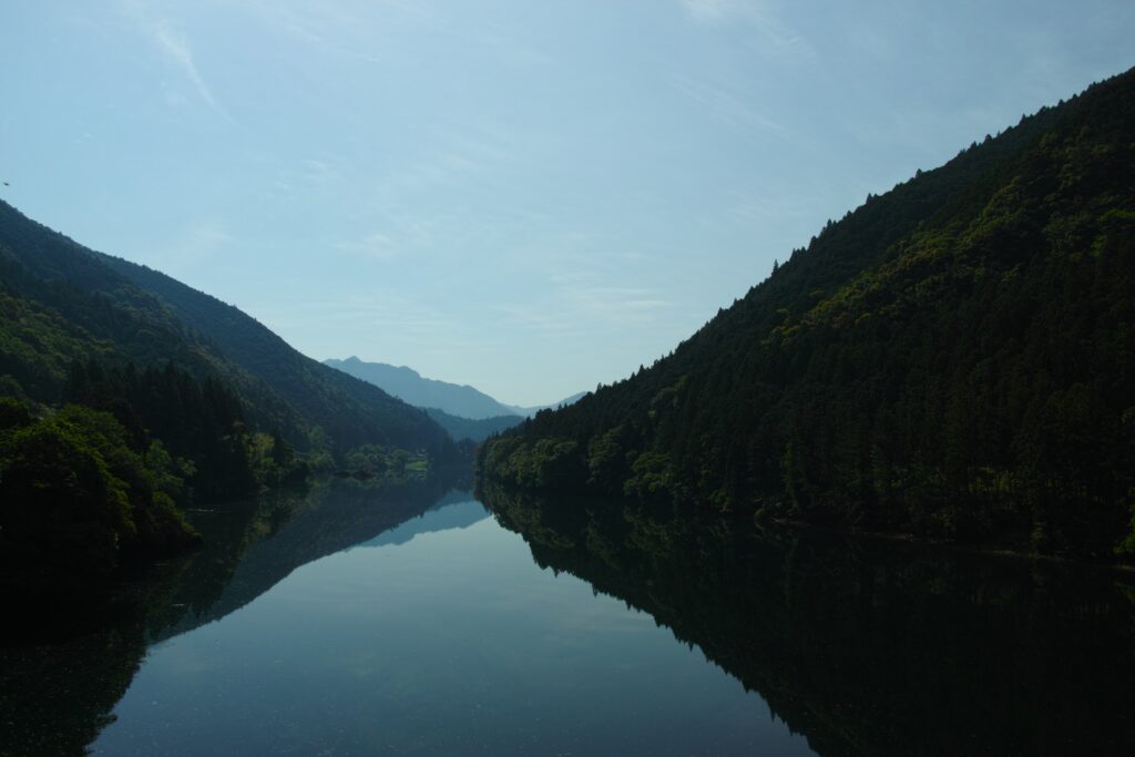
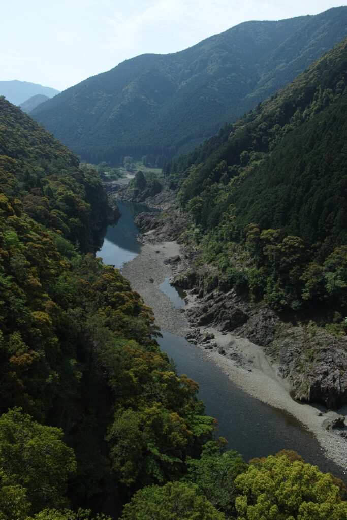
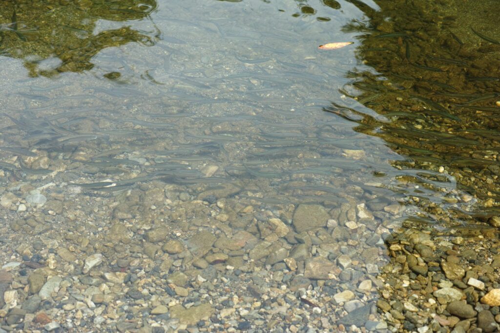
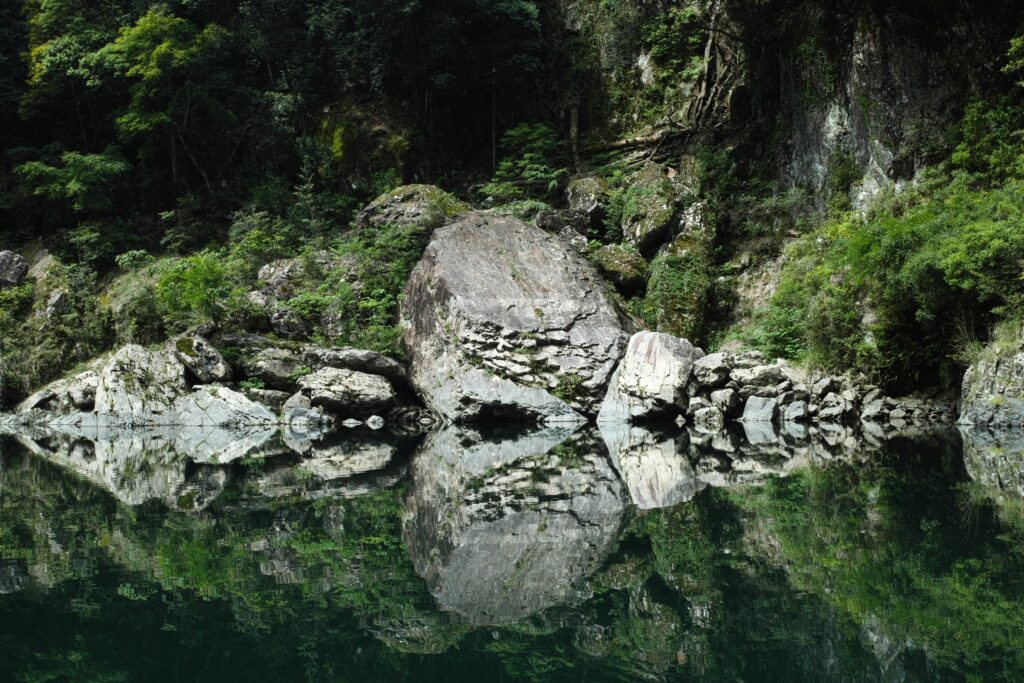
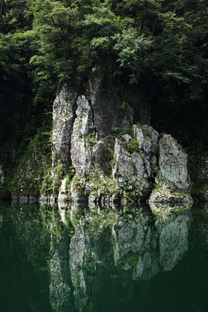
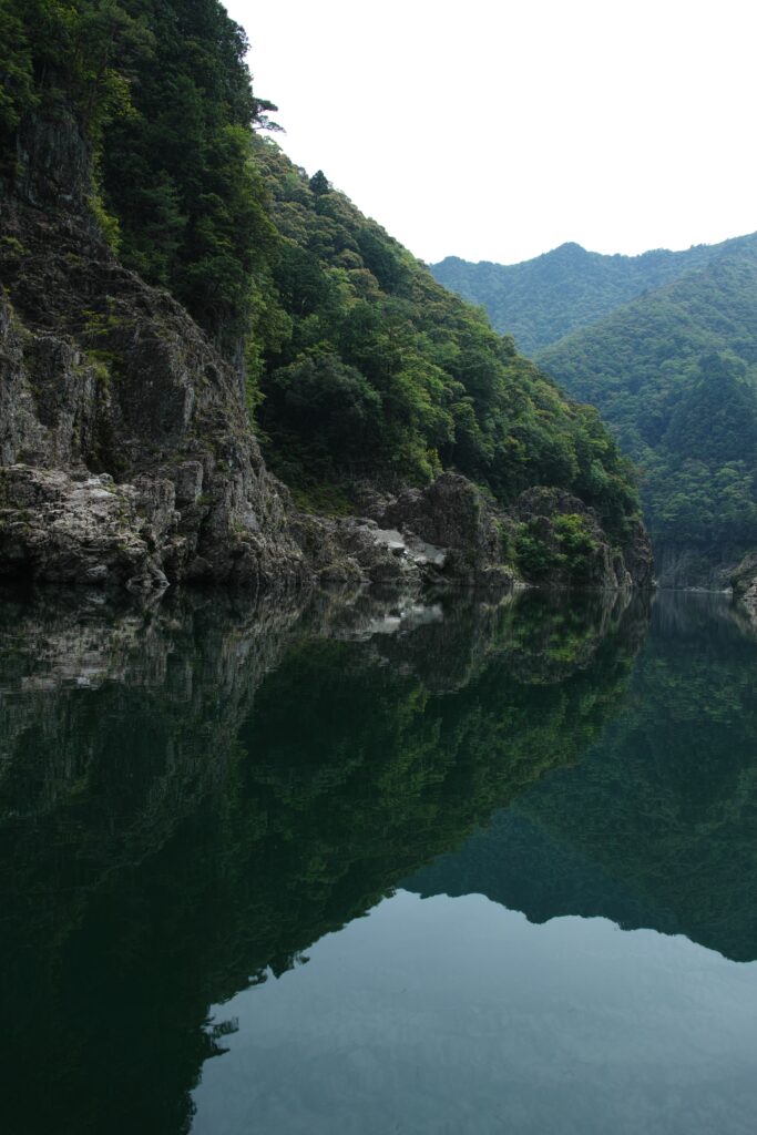
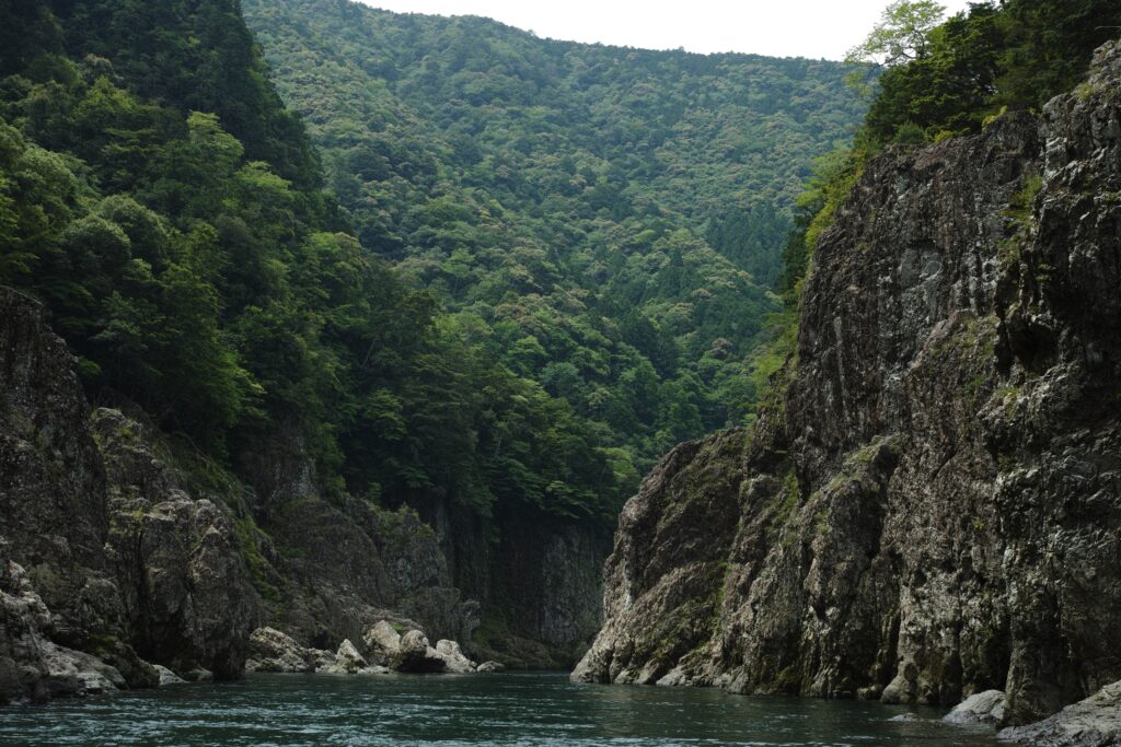
Arrived at the destination. Dorokyo has huge rocky walls on its both sides of the river with really clear water.
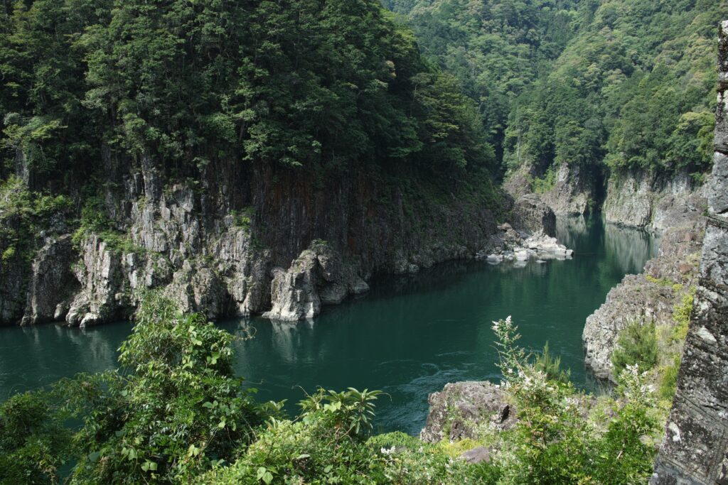
On a day with no wind, the surrounding scenery has a mirror reflection on its green water surface, so people say it is interesting. In my case, however, the Mandelbrot set came to my mind first.
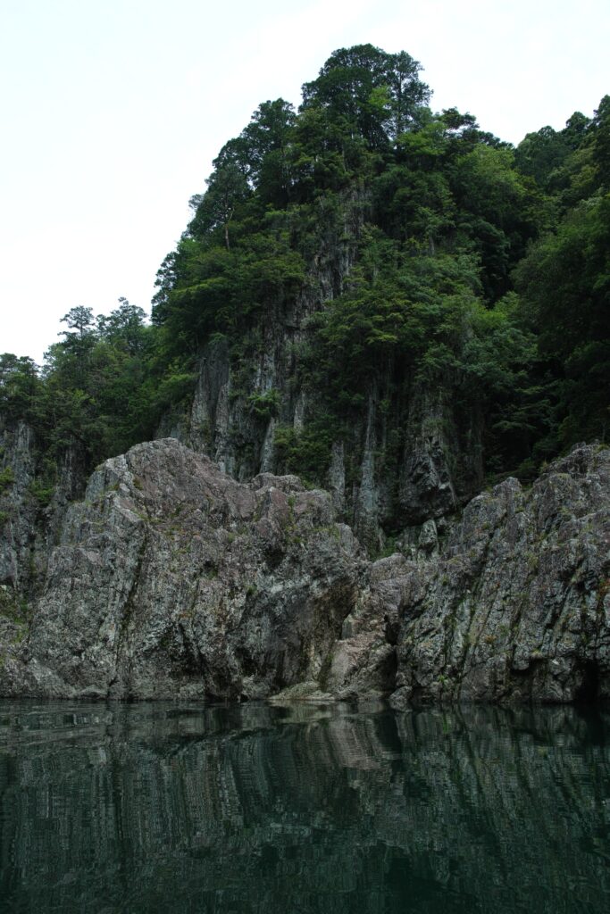
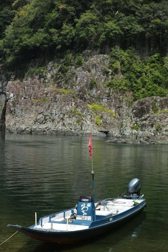
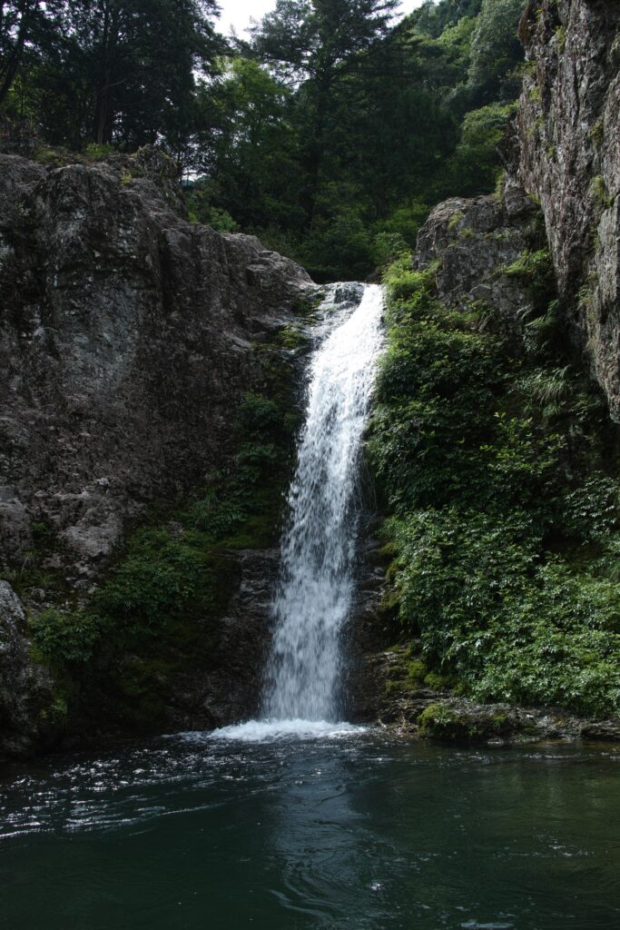
The boatman said that here is the place with a lot of rain. I felt this is the area of very rich water resource. Water flows from everywhere.
This time, I used SIGMA DP Merrill series. Due to its FOVEON sensor, I worried the cameras shake on the boat and the images came blur, but thanks to the sunny day, the shutter speed was fast enough to have good resolution.
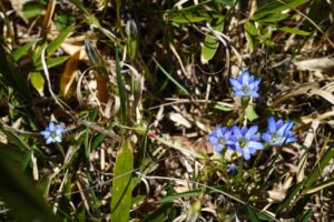
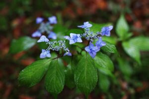
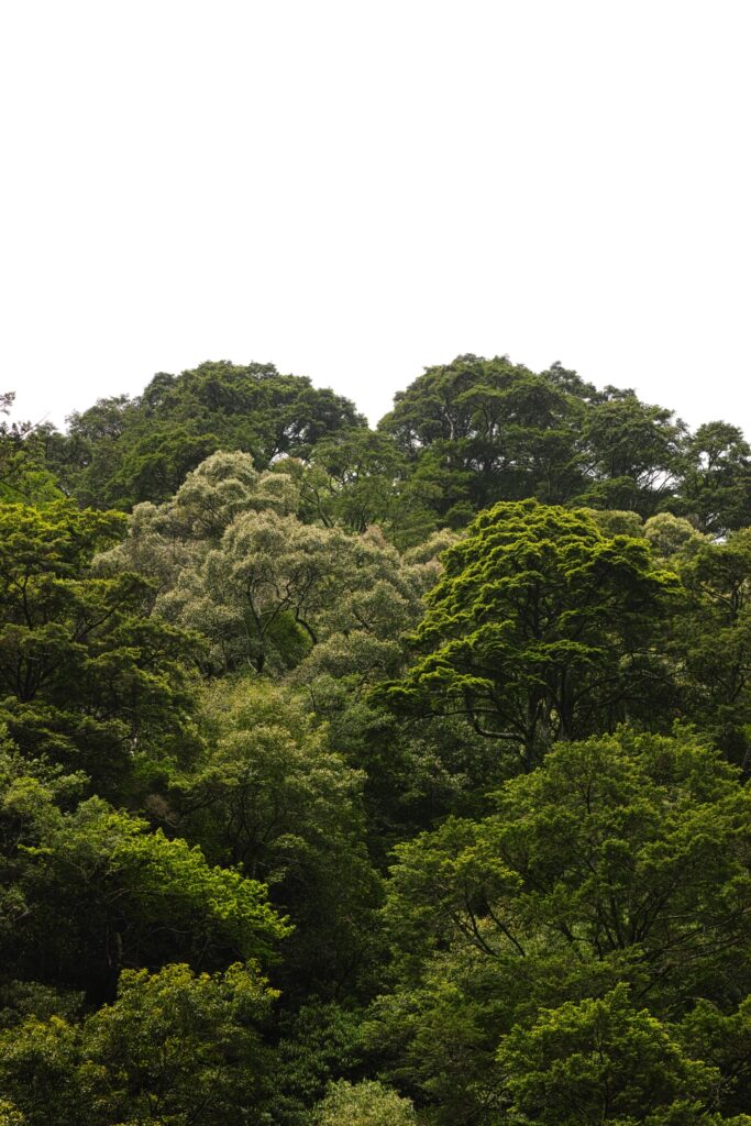
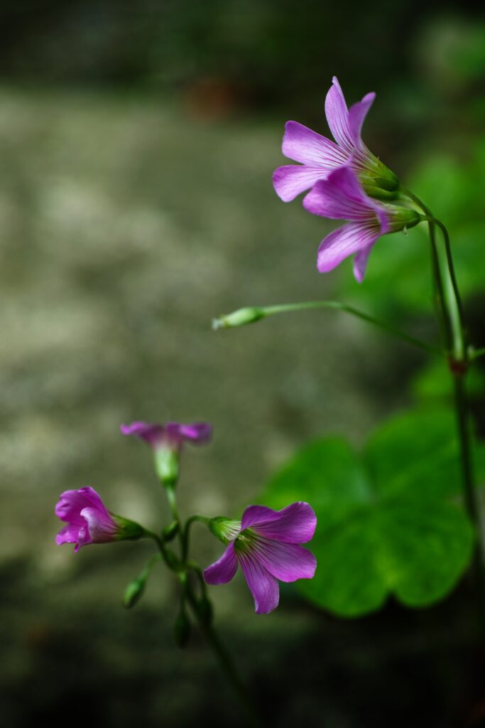
I don't know why but can't stop releasing shutters on grass flowers on the roadside by the way.
map